Tracing Westbury’s changes over the last century is the fascinating theme behind the town museum’s latest exhibition.
It promises to offer intriguing insights into how the town has grown, the way we worked and played, the buildings that have come and gone and even aerial views dating from 1929.
Central to the exhibition are three large maps showing our town in 1924, 1936 and 2026. The latter which features the most up to date information along with street names is a far cry from the earliest maps when the town really consisted of a central core of the marketplace and the surrounding streets. That first map shows the huge range of meadows, orchards and allotments while the latest map shows how housing has eclipsed the town’s rural surroundings.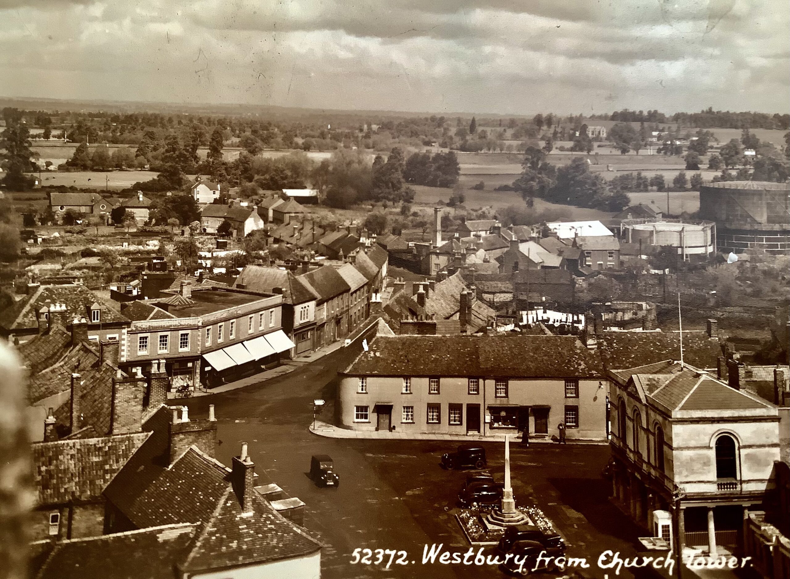
Among interesting details on the early map is the presence of the workhouse in Eden Vale – it was still operating in 1924 but was to close within the decade. The map clearly shows the size and layout of this dreaded institution.
Another aspect of the earliest map is the presence of large houses with substantial gardens and land – most of which no longer exist. These include Fontainville which was demolished to make way for the High Street.
Anyone interested in the history of our town’s pubs will enjoy searching then out on the earliest maps – and doubtless marvel at just how many were in the town. Most are marked – and most have vanished – like The Oak, The White Lion, The Castle and The George. All gone but thriving in 1924.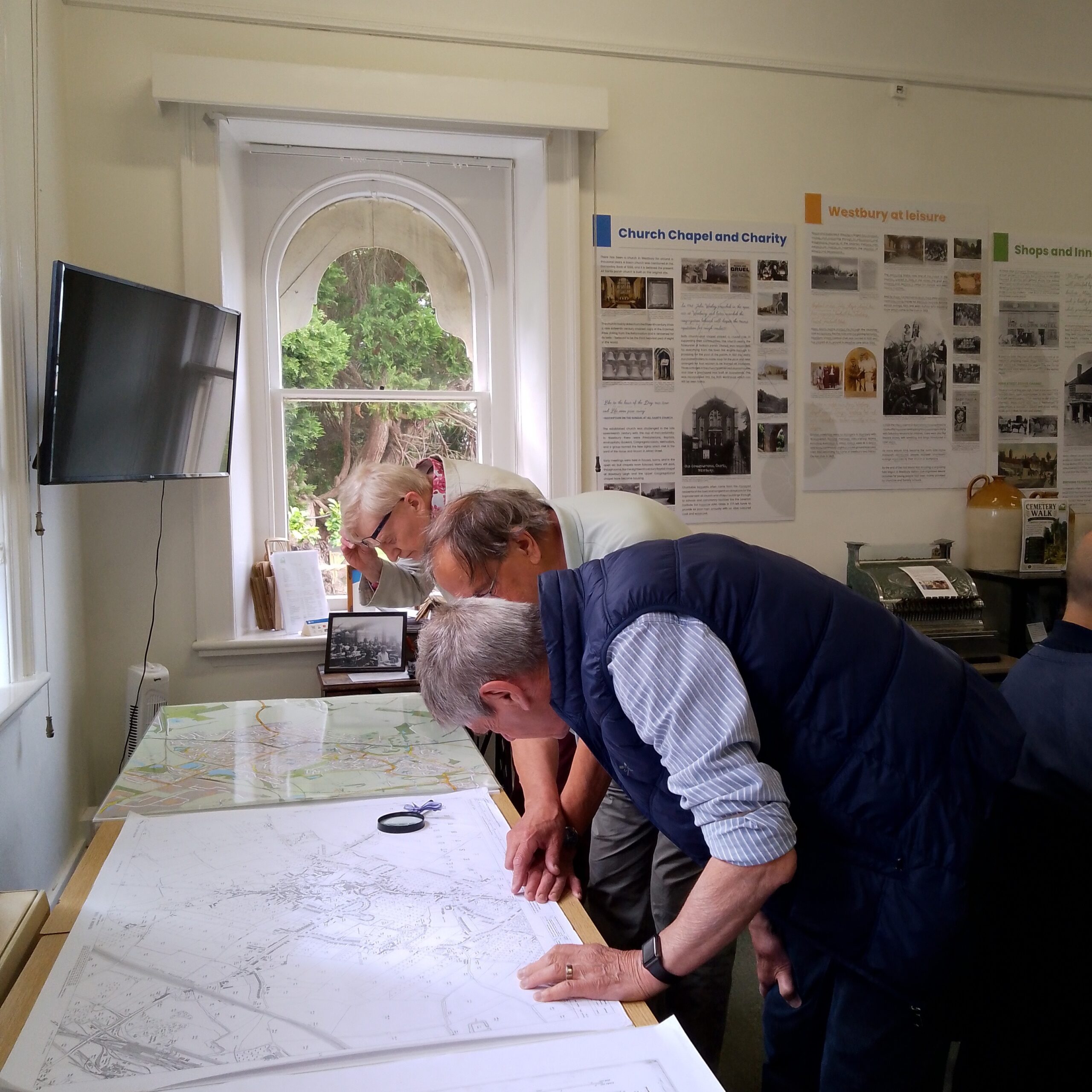
Significant changes can be spotted too in the way we worked. Industry was very much a part of Westbury in the early twentieth century. Marked on the early maps are mills, glove factories, leather factories, and even an indigo factory. You could walk to work.
And while the escalation in house building is one of the most significant changes over the century, the 1924 map shows some of the earliest social housing. Haynes Road and The Crescent were some of the country’s earliest council houses.
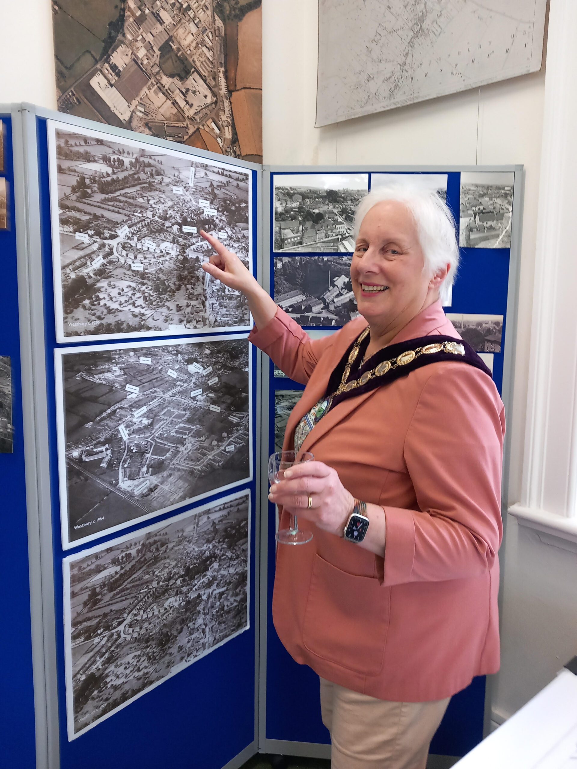
Visitors viewing the exhibition’s many aerial photographs of the town will find the Crescent’s distinctive outline provides a great landmark when getting your bearings.
The exhibition also features scores of historic photographs of people, places, businesses and sports, along with displays of Wiltshire maps dating from the seventeenth century. The exhibition, which was officially opened by Mayor Carole King, runs till September. It is free and everyone is very welcome.

Send us your news!
Help us keep your community connected and informed.
Do you have an interesting story you would like to share? Have you seen something you feel needs more attention? Get in touch with a reporter today!
✉️ Click here to get in touch with a reporterSupport White Horse News
Help us keep your community connected and informed.
Local news is under pressure more than ever. Choose a monthly subscription or a one-off donation to support independent reporting in White Horse News.