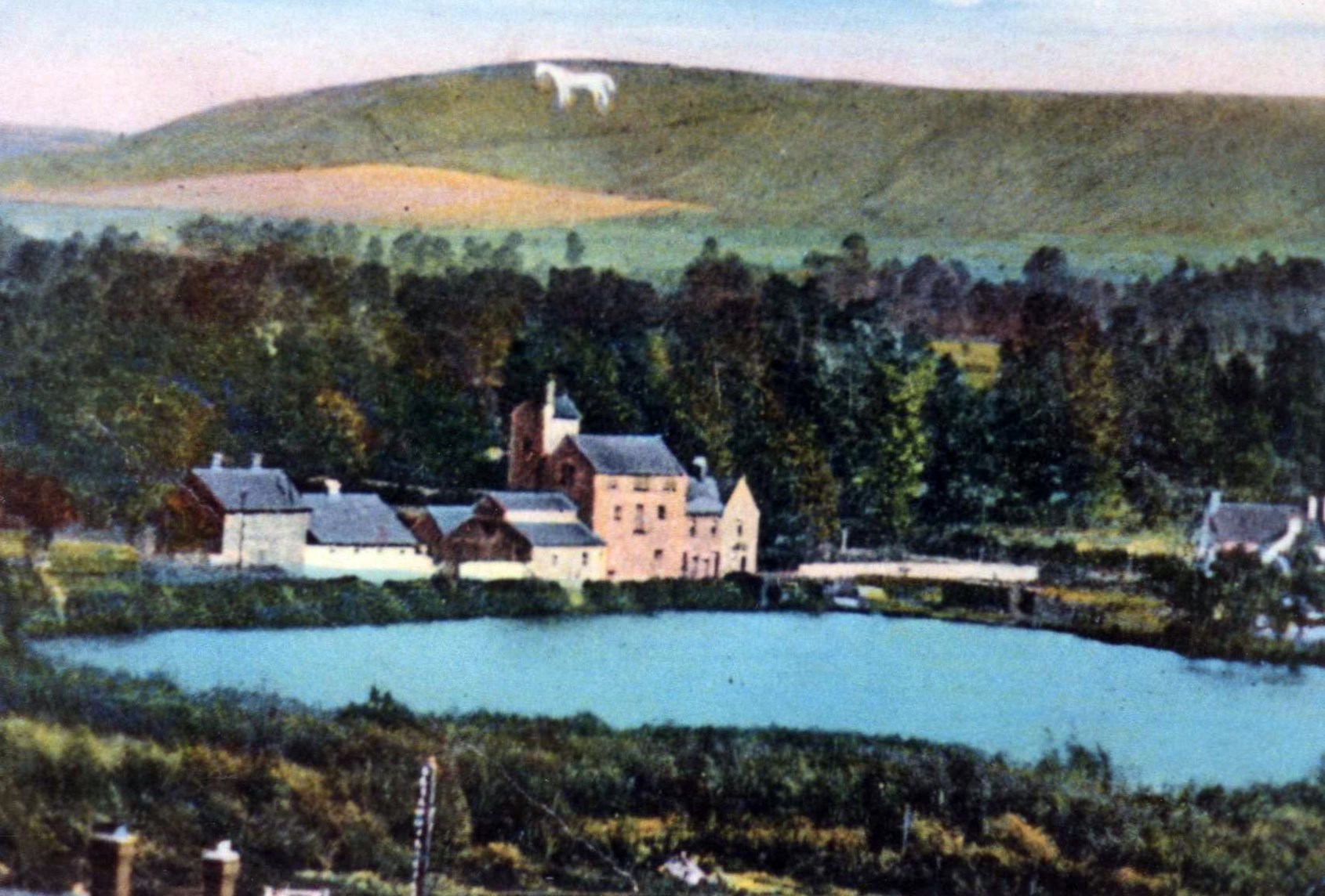
Wellhead, Springfield Road, Springhill, Brook Street, Pond Head. All names of areas in Westbury having connections to water.
Although there is no major river flowing through the town, there are many little streams, some hidden, the mineholes near the station and former mill ponds. So where does all this water come from? The explanation is found in the area’s geology.
Salisbury Plain is a chalk escarpment, and rainwater is absorbed by the porous chalk. Beneath the chalk is mainly clay which is far less porous. As water flows through the chalk it meets the clay and springs are formed, which in turn become the small brooks and streams flowing through the town.
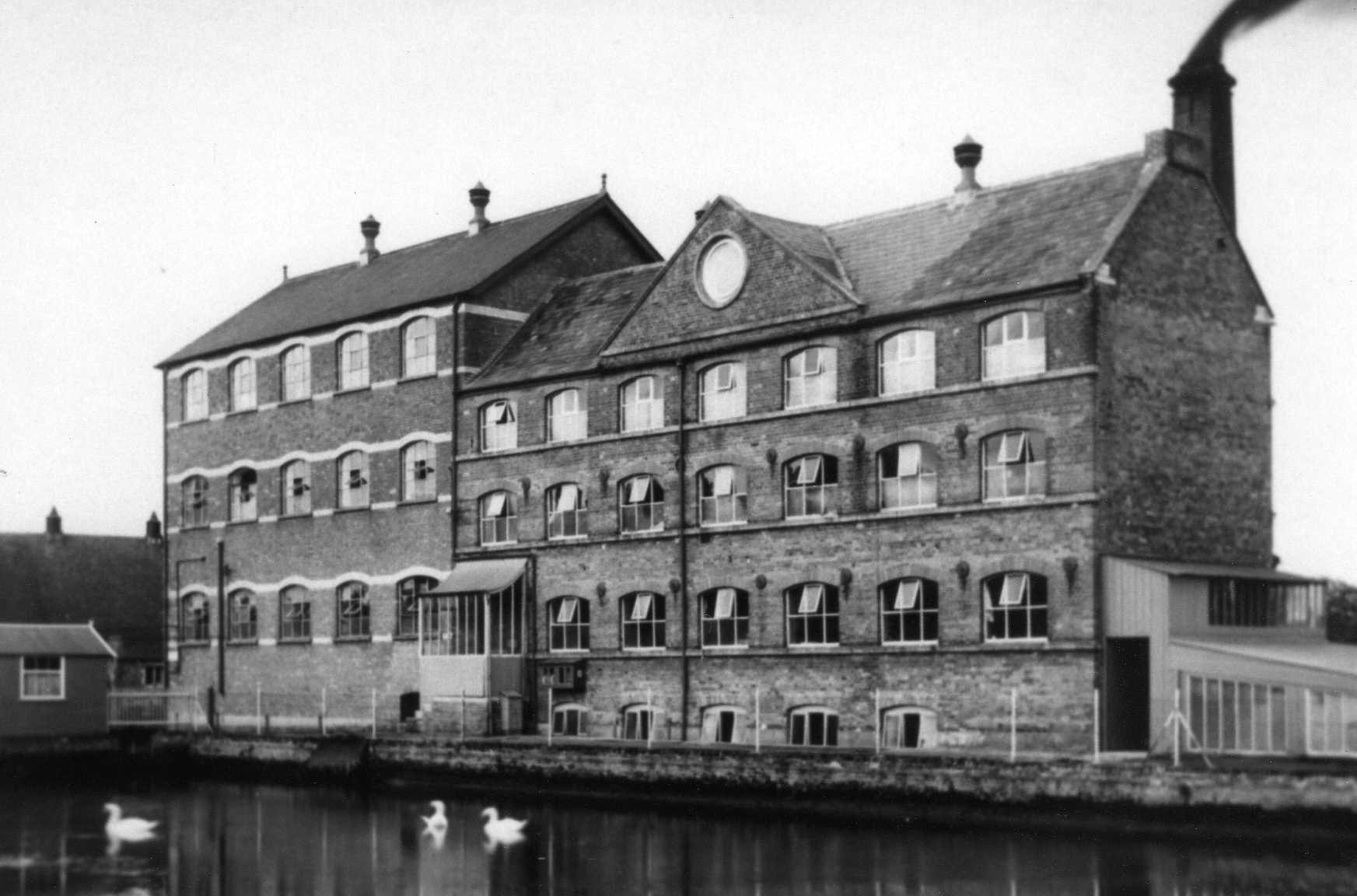
To the east Bitham Brook served the Bitham Mill. Today it is seen just off Alfred Street near Gibb’s Close before disappearing underground again. It reappears between Frogmore and Trowbridge Road, flows through the Meads and continues north towards Heywood and Hawkeridge.
The Biss is to the west. Rising near Upton Scudamore it flows through Old Dilton to Westbury Leigh. Near Penleigh it is joined by the Wellhead stream, continues past Storridge and Brook House Farm to be joined by Bitham Brook just south of North Bradley. Here it becomes the River Biss and flows through Trowbridge before joining the River Avon south of Bradford-on-Avon.
But these are just the named streams. Numerous others can be heard around the town below gratings and manholes. In Church Street one is visible at the entrance to Angel Mill. Even in 1950 the swimming pool was still being filled by an underground stream and in 1968 a burst culvert flooded the foundations of All Saints’ Church causing the tower to lean. In 1855 Bereswell (now Studland Park) was rejected as the site of the town’s planned cemetery as the Burial Board “thought it desirable not to run any risk of interfering with the springs supplying the town.”
As well as supplying the residents with drinking water, the springs and streams were important in the production of woollen cloth in the town’s mills. They drove water wheels, provided water for the manufacturing process and later powered steam engines. Former mill ponds can still be seen at Bitham Mill, in Wellhead woods and off School Lane in Westbury Leigh. In the churchyard is the site of another mill pond, now Victoria Gardens.
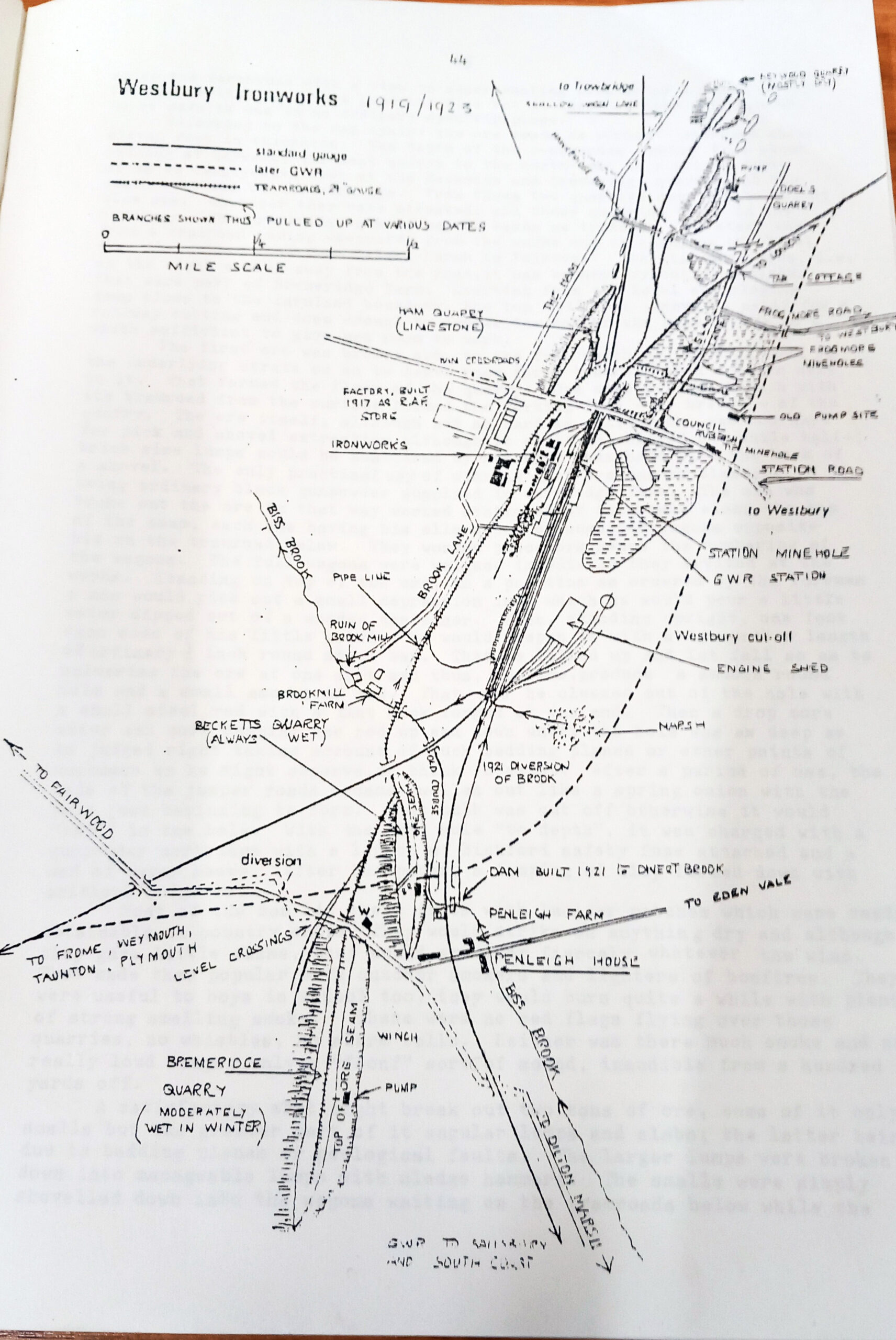
However, an unusual feature of Westbury are the lakes locally known as the mineholes. They are almost all that remain of the iron works that stood behind the station for nearly 80 years from the 1850s. The iron ore for the works was dug out of them before being fed into the furnaces. Water for the manufacturing process was taken from nearby Biss Brook. But even when the works were operational, the quarries flooded and pumps were needed. They could be dangerous places and some workers drowned there. After the iron works closed some pits were filled in, but the ones that remain are now used for fishing and sailing and have become places to spot wildlife.
And finally, there is a legend about Bridewell Springs (also known as Brittle or Briddle Springs) on the Bratton Road. It is said that once a year, at midsummer, the White Horse comes down off the hill to have his annual drink there.
For more information about the history of Westbury, pop into the town’s museum in the library or visit www.westburyheritagesociety.org.uk.
Send us your news!
Help us keep your community connected and informed.
Do you have an interesting story you would like to share? Have you seen something you feel needs more attention? Get in touch with a reporter today!
✉️ Click here to get in touch with a reporterSupport White Horse News
Help us keep your community connected and informed.
Local news is under pressure more than ever. Choose a monthly subscription or a one-off donation to support independent reporting in White Horse News.